Clear Waters, Riffles, & Rapids
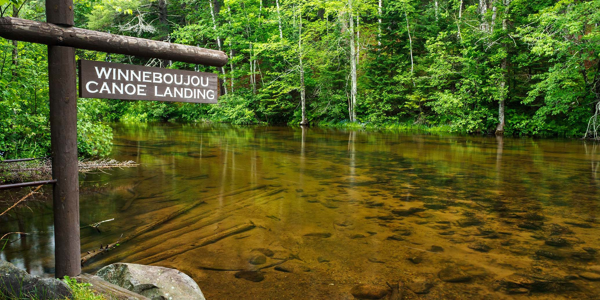
The Bois Brule River, from Stone's Bridge Landing to the outlet at Lake Superior, is among the best small rivers for canoeing and kayaking in the Midwest. Consistent flow, beautiful scenery, and a diverse character provides appealing trips for novice to intermediate-level paddlers.
The upper reaches of the river feature a calm, serene beauty flowing through an intimate setting with occasional quiet pools and small lakes before tumbling over a series of fun, low-hazard rapids and chutes. Another quiet stretch with strikingly clear waters. Then the Brule begins to show a rougher character as it tumbles through a series of challenging ledges and rapids through a winding valley. More riffles and low-hazard rapids follow. Gradually the river slows and widens, flowing past steep wooded hills before finally spilling into Lake Superior.
Most of the river flows through the 47,000-acre Brule River State Forest with a few stretches running through privately-owned lands. Both the DNR and the private landowners have taken great measures to manage and preserve the unique ecological character of the river. The Bois Brule watershed provides for an abundance of wildlife, including beaver, otter, white tailed deer and songbirds. You will occasionally see an osprey or eagle soaring overhead, or perched on a tall pine, searching the river for their next meal.
The landscape surrounding the upper Bois Brule is mostly marsh, bog and northern boreal forest. Alder thickets, cedar, spruce, and a variety of hardwoods are common along the riverway. Downstream, the landscape slowly changes as the river meanders through increasingly taller hills covered in forests of aspen, birch and maple, along with beautiful stands of pine, spruce and balsam fir. Finally, the high banks and tall hills give way to a low area of open marsh, grasses and thickets shortly before the river flows into Lake Superior.
The Bois Brule has a lot of bends with swift moving water so even basic ferrying skills will make paddling safer and much more enjoyable. If you’re not familiar with the term's ‘ferry’ or ‘back ferry’, Paddling magazine has an online article with an excellent description and illustration.
Fishing
The Bois Brule is a popular trout stream where Brown, Rainbow, and Brook Trout are common. Steelhead, Chinook, and Coho are targeted during their respective lake runs in the lower reaches of the river. The State Forest provides many access trails with designated parking areas for anglers along the middle and lower reaches of the river. Check out the river map for their locations (including GPS).
River Camping
The Brule River State Forest features two riverside campgrounds with developed landings for canoe camping that make multi-day excursions easy. Both offer reservable campsites.
The Bois Brule Campground is located at the end of segment BB1 in a beautiful setting beneath tall pines. 17 sites are available for tent and RV/trailer camping (back-in only, length varies), and 5 are walk-in tent sites. Every campsite is within easy walking distance of the river and two of the walk-in tent sites are riverside. Amenities include a hand pump for drinking water and vault toliets.
The Copper Range Campground is located near the end of segment BB2 and features 17 sites in a hardwood and pine forest. 14 sites are available for tent and RV/trailer camping (back-in only, length varies), one site is accessible. 3 sites are walk-in tent only and intended for canoe camping. There is a hand pump for drinking water and vault toilets. There are no electric sites at either campground.
Amnicon Falls State Park
Amnicon Falls State Park lies 16 miles west of the Bois Brule River on US Highway 2. The park features a series of dramatic waterfalls and rocky rapids in a grogeous setting surrounded by towering pines. A family campground has 36 campsites. 34 are available for RV and tent camping and 2 are walk-in tent only. Most offer quiet seclusion and are partial to fully shaded. One site is accessible and every site is reservable.
Chequamegon-Nicolet National Forest
The Chequamegon-Nicolet National Forest has two lakeside campgrounds within 30 miles of the Bois Brule. Perch Lake Campground offers 16 campsites next to its beautiful namesake, 72-acre Perch Lake. A mostly undeveloped shoreline covered in a hardwood and pine forest surrounds the lake which contains panfish, trout and largemouth bass.
A little closer is the Wanoka Lake Campground, a popular family favorite next to a small 15-acre lake. The campground is seven miles east of Iron River, just south of Highway 2. Wanoka Lake has 20 campsites.
Season
The river is usually navigable throughout spring, summer and fall. Some rapids may be scrappy during periods of little rainfall in late summer and fall.
River Level Information
River Gauge Location: Brule, WI
USGS Website: 04025500
Phone: Brule River State Forest ~ 715.372.4866