For those who prefer a relaxing float through a beautiful northwoods setting then this section of the Bois Brule delivers. There are two named rapids, first is Doodlebug Rapids (class I) which occurs 500 yards below the Bois Brule Landing and the other is Co-Op Park Rapids (class I), 10 miles downstream. The rest of this reach is mostly calm water with brief stretches of riffles and class I rapids.
North of Highway 2 the river passes frequent grass and brush-covered banks shaded by hardwoods and pines that often lean over the river. After a couple of miles, the forest opens a little and the river bends around small, grass-covered peninsulas.
Below Casey Creek, the forest closes in again and the current subtly quickens. Riffles and easy rapids become more frequent in the final two miles.
Wildlife is abundant during the morning hours and late afternoons; you should see and hear songbirds including several species of warblers and thrush. You may occasionally spot a bald eagle scanning the river from the top of a tall pine.
River Camping
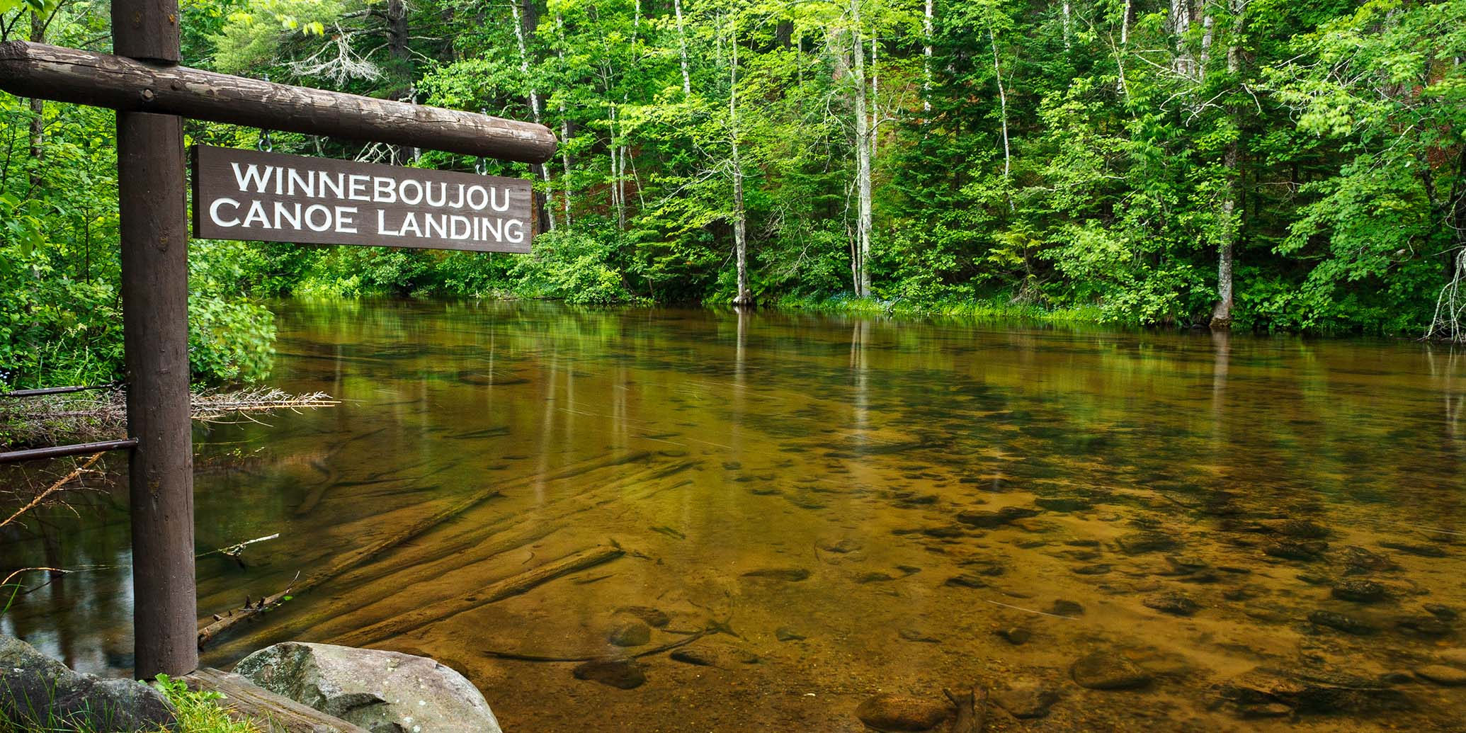
The Brule River State Forest has two riverside campgrounds in this section. The Bois Brule Campground and Canoe Landing is at the put-in and offers 22 shady campsites in a beautiful hillside setting shaded by tall pines. Five sites are walk-in (tent only), of which two are canoe campsites. 17 sites can accommodate tents and/or an RV/trailer (max length varies). Each site has a picnic table and a fire ring. Amenities include a riverside picnic area, drinking water, vault toilets, and garbage/recycling. There are no electric hookups.
Near the end of this segment is the Copper Range Campground which sits in a hardwood and pine forest next to the river and offers a landing for paddlers. There are 17 non-electric sites that are partial to fully shaded. 14 sites are available for tent and RV/trailer camping (back-in only, length varies), one site is accessible. 3 sites are walk-in tent only and intended for canoe camping. Campground amenities include drinking water (hand pump), vault toilets and garbage/recycling.
Every campsite in both campgrounds must be reserved before you occupy the site. The sites may be reserved on the day of your arrival, online or by phone. The location of the two campgrounds make multi-day excursions easy.
Season
Water levels are usually navigable from spring through fall. Novice paddlers should avoid the river when water levels are high, especially during the snow melt-off in spring.
River Level Information
The river gauge referenced below is located in this segment and should provide an accurate indication of current conditions in this reach.
River Gauge Location: Brule, WI
USGS Website: 04025500
Phone: Brule River State Forest ~ 715.372.4866
Estimated Difficulty at Gauge Flow
| Below 125 cfs |
Paddling not recommended. |
| 125 cfs to 200 cfs |
Low runnable flow. Several riffles and rapids will be bony in this range. |
| 200 cfs to 350 cfs |
Medium runnable flow for novice paddlers. |
| 350 cfs to 600 cfs |
High runnable flow for novice paddlers. |
| 600 cfs to 1000 cfs |
Novice paddlers should avoid the river. |
| Above 1000 cfs |
Rare, high flows. Experienced paddlers only. Deadfall and strainers become quite hazardous when present, may be unavoidable at times! |