This section flows through a shallow, winding valley past areas of birch, hardwoods, pine, and occasional dense brush. Novice paddlers will enjoy some of the best low-hazard whitewater in Wisconsin. The rapids begin shortly below Pine Tree Landing and continue almost non-stop for the next eight-plus miles to the Highway 13 Landing. Most are in the class I range with occasional class II’s depending on river levels.
There are two notable exceptions. The first is at Lenroot Ledges (class II-III) where a long series of small ledges form fun wavy drops in medium to high flows. Navigating ‘The Ledges’ is straightforward and will normally rate class II. The second big rapids are a little further downstream at the more challenging May’s Ledges (class II-III). Mays requires a little more maneuvering over larger drops and can produce class III waves and holes suitable for intermediate paddlers during higher flows.
This is a popular stretch for experienced whitewater enthusiasts during the spring melt-off when river levels are high.
There are a couple of hazards that occasionally occur that you'll need to be aware of. Lenroot Ledges will be scrappy during lower flows (about 135 cfs and lower) so be sure to follow the main channel of flow - especialy where the river bends. Also, always be vigilant for deadfall! There may be strainers and submerged logs in some of the rapids.
River Camping
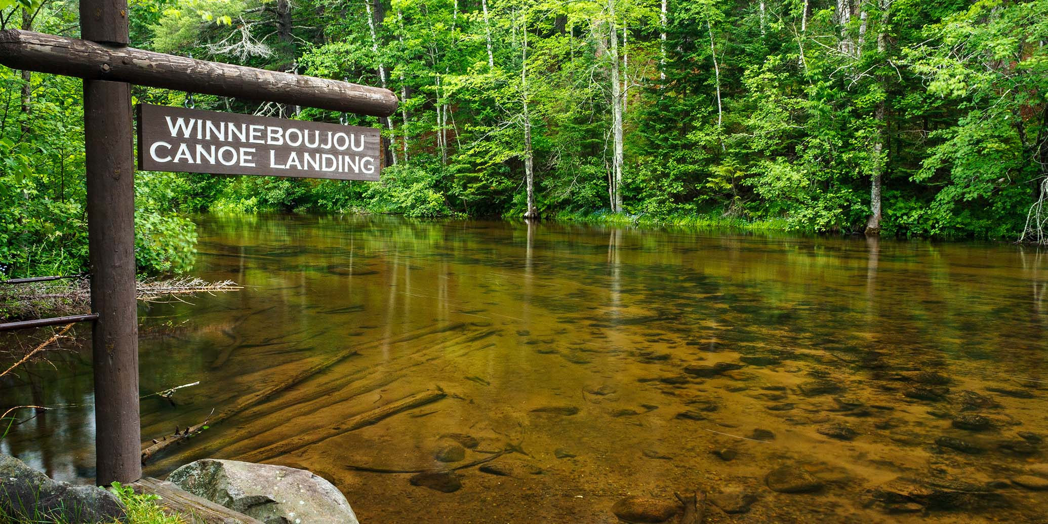
The Copper Range Campground is located about a half-mile upstream from Pine Tree Landing (about a half-mile drive on High Landing Road). The location of the campground makes this reach an excellent final leg of a two or three day paddle trip. Please read the previous segments for more info.
Season
Water levels are usually navigable from spring through fall. The rapids will be scrappy during low flows, and conversely, will produce challenging conditions for novice paddlers when river levels are high, especially during the spring snow melt-off.
River Level Information
The river gauge referenced below is located 10.5 miles upstream from this segment and should provide an accurate indication of current conditions in this reach.
River Gauge Location: Brule, WI
USGS Website: 04025500
Phone: Brule River State Forest ~ 715.372.4866
Estimated Difficulty at Gauge Flow
| Below 125 cfs |
Paddling not recommended. |
| 125 cfs to 200 cfs |
Low runnable flow. Several rapids will be bony in this range. Scenic whitewater trip for novice paddlers. |
| 200 cfs to 350 cfs |
Medium runnable flow for novice paddlers. Lenroot Ledges, and Mays Ledges are class II. Fun whitewater trip for novice paddlers. |
| 350 cfs to 600 cfs |
High runnable flow for novice paddlers. Mays Ledges are class III at high end of this range. Some waves may scare or flip less-experienced paddlers. |
| 600 cfs to 1000 cfs |
Novice paddlers should avoid the river. BB1 and BB3 are intermediate runs. Fast current in constrictions. |
| Above 1000 cfs |
Rare, high flows. Experienced paddlers only. Ripping fast current in constrictions. Deadfall and strainers become quite hazardous when present, may be unavoidable at times! |