The river begins to show a little more of the whitewater character it is famous for. There are numerous long and challenging rapids through narrow, rocky banks. First is Michigan Rapids, a scenic class III, a half mile below Burnt Bridge. The rapids open with a series of drops through a right bend. Watch for the horizon line on river-left and a debris pile on river-right as you approach the initial drop, scout from either bank.
Two miles later is Upper Dells Rapids (class II), shortly followed by the Dells Rapids (aka Ralton's Rip, class III). In the the Dells the river narrows into a fast and frothy rip through a beautiful rocky gorge, good maneuvering skills are required. Deadfall and strainers can sometimes be a dangerous factor so be sure to scout.
Taylor Falls is located near the end of this segment. The Falls are a short series of drops which rate class III. You'll then paddle through Taylor Rapids (class II), which end in a wide pool just above the Swede John Road Bridge.
After you pass under the Swede John Road Bridge, you'll go down the left fork around an island and through a stretch of class I-II rapids. Land on the left bank as you approach a wooden footbridge that crosses over the river, Strong Falls (class IV) are just below the footbridge. The surrounding area is part of Goodman County Park, which offers camping, picnic areas and a few short hiking trails and scenic boardwalks.
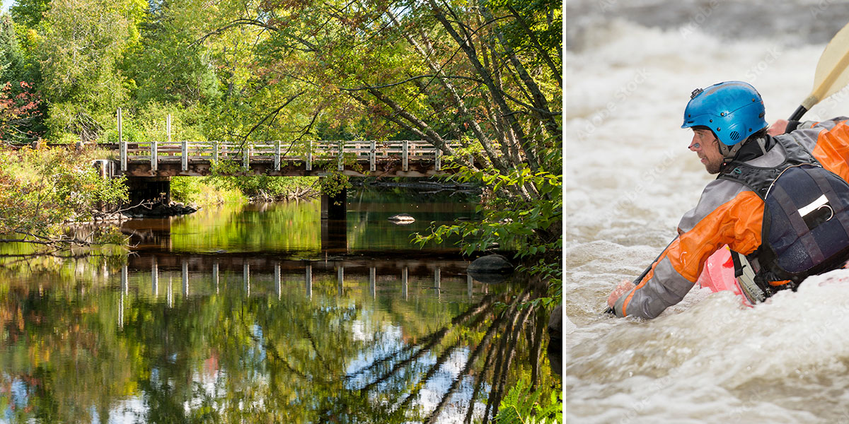
Tips for Whitewater Paddlers
There are plenty of access points in this segment, so you can pretty much pick and choose your put-in and takeout. One very good option is the run from Burnt Bridge to Burton Wells Bridge (Goodman Park Rd). This 6.3 mile trip includes: Michigan Rapids (class III), Upper Dells Rapids (class II), and Dells Rapids (class III) along with several pitches of unnamed class I and II rapids. This way you'll avoid the long stretches of flatwater between the Burton Wells Bridge and Taylor Falls.
Then, there is the short-run of Taylor Falls and Strong Falls (1.1 miles). Put-in at the landing on Benson Lake Road, just west of the Marinette County Road 1510 intersection - run Taylor Falls (class III) and Strong Falls (class IV) - and take-out at Goodman Park, just below Strong Falls on river left. Strong Falls are definitely best run at water levels above 5 feet on the USGS Gauge, or +12 on the Paddlers Gauge! There are easy access points in Goodman Park, above and below Strong Falls, so you can run the falls over, and over, and over,...
As noted earlier, the character of the whitewater can change dramatically depending on water levels. You'll be walking your boat through scrappy boulder gardens when levels are low, or paddling through fast, wavy rips when levels are high. Paddling in early season, or after a sustained rainfall in summer, is definitely best and well worth the trip! Watch for strainers and deadfall.
Season
This segment is best run in in the spring and early summer, and after a sustained rainfall from mid-summer through fall. Contact one of the local outfitters for river levels before you paddle!
River Level Information
The river gauge referenced below is about 13.5 miles downstream from this segment. So, while this gauge provides a good indication of the general height of the river, the reading should only be considered as an estimate of the conditions in this reach. At higher levels, strainers and deadfall become more of a hazard when present.
River Gauge Location: Hwy C Bridge near Wabeno
Suggested Minimum Level: 4.5 feet
USGS Website: 04067958
Estimated Difficulty at Gauge Flow
| Below 4.5 feet |
Paddling not recommended. |
| 4.5 feet to 5.0 feet |
Low runnable flow. Some rapids may be bony at the lower end of this range, though all rapids should be navigable. |
| 5.0 feet to 6.0 feet |
Medium runnable flow. Should be excellent paddling conditions in the rapids. |
| 6.0 feet to 6.5 feet |
Medium-high runnable flow. |
| 6.5 feet to 7.5 feet |
High runnable flow for safe paddling conditions. Several pitches of Upper Dells Rapids and Mac Tackie Rapids are approaching class III. Deadfall and strainers are especially hazardous when present in narrow channels! |
| Above 7.5 feet |
Rare, unusually high flows. Exercise caution if you paddle the river in this range. Mistakes compound quickly. |