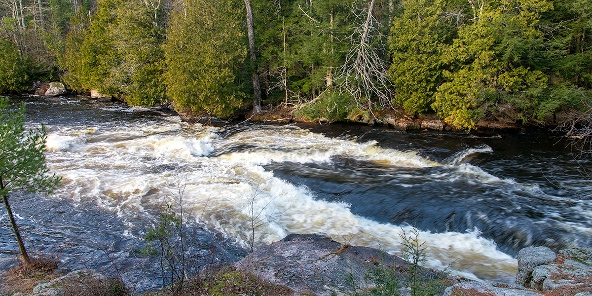
Below Pearson, the river flows through a varying landscape of open marsh and dense northern hardwood and mixed pine forest. Numerous spring-fed creeks feed the river. This reach is mostly flatwater with three named rapids: Wendigo Rapids (class II), Strauss Rapids (class I) and Overton Rapids (class I).
The most difficult rapids occurs two miles below Pearson, at Wendigo Rapids, a rocky class II that begins just below the County A Bridge and is followed by a long stretch of riffles.
The river eventually calms and flows through six miles of mostly flatwater and periodic riffles. This is a wonderfully scenic stretch through a gorgeous hardwood and pine forest and one stretch of marshland. Wildlife is abundant. A number of small, grassy islands populate the river providing easy crossing points for white-tailed deer, usually in the morning and afternoon hours.
The river narrows and the forest closes in as you approach Strauss Rapids (class I). This begins a three-mile stretch of bouldery riffles and low-hazard rapids including Overton Rapids, a splashy class I in medium-to-high flows. The river calms again as you approach the Turtle Lake Outlet, and remains so until the takeout for this segment; at the Highway 52 bridge.
Season
The Wolf is fed by a large number of springs and small tributaries which help maintain a consistent, navigable flow throughout spring, summer and fall. Occasionally, the river may be too low for an enjoyable paddle during dry spells in summer and fall. However, when a sustained rainfall occurs river levels will rise rapidly and drop slowly - and paddling conditions will be good-to-excellent for an extended period of time.
River Level Information
The river gauge referenced below is located 14.7 miles downstream from this segment. So, while this gauge provides a good indication of the general height of the river, the reading should only be considered as an estimate of the conditions in this reach. At higher levels, strainers and deadfall become more of a hazard when present.
River Gauge Location: USGS Gauge at Highway 64 Bridge near Langlade, northeast bank.
Suggested Minimum Level: 250 cfs
USGS Website: 04074950
Estimated Difficulty at Gauge Flow
| Below 250 cfs |
Paddling not recommended. |
| 250 cfs to 500 cfs |
Low runnable flow. May have to portage Wendigo Rapids which are usually scrappy in this range. The rest of this segment should be navigable at levels above 250 cfs. |
| 500 cfs to 700 cfs |
Good range to paddle this segment. Wendigo Rapids may still be bumpy and technical. |
| 700 cfs to 1100 cfs |
Excellent range to paddle this segment. Wendigo Rapids should be a fun, wavy class II, a highlight of this reach. |
| 1100 cfs to 1800 cfs |
High runnable flow for novice paddlers. Unusually high flows. Pushy waves at Wendigo Rapids may intimidate less-experienced paddlers. High speed flows! |
| Above 1800 cfs |
Rare, unusually high flows, novice paddlers should avoid the river. |
