This is considered the whitewater segment of the Chippewa River. There are numerous riffles and several pitches of class 1 rapids that are relatively mild during low to medium water levels. None of the rapids are named.
There are several places where the river forks into fast narrow channels around large, wooded islands. While it's fun to explore the channels you must be mindful of overhanging trees which form strainers!
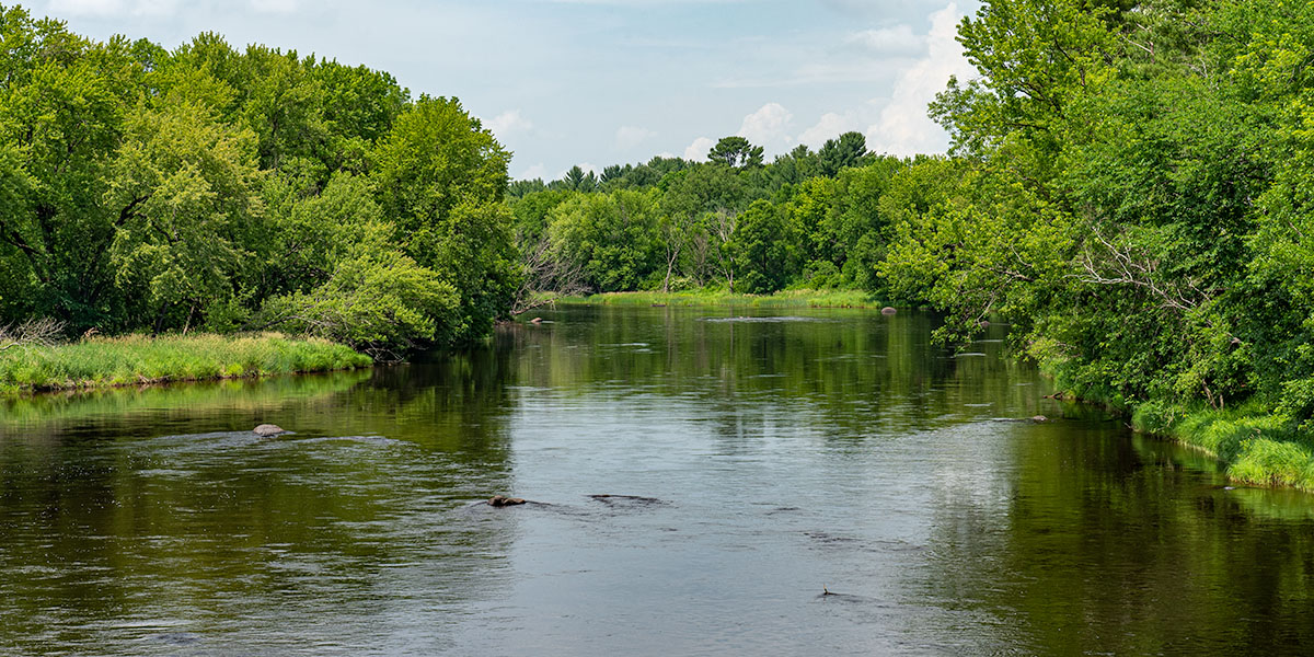
Densely wooded banks and scenic meadows continue to surround the river with a few houses and cottages scattered throughout. Bird life is abundant.
This and the following reaches of the Chippewa are well-known amongst local anglers for walleye, musky and northern pike. Panfish and smallmouth bass are also found in these waters.
Season
The river is usually runnable from early spring through late fall. Novice canoers and kayakers need to exercise extra caution when waters levels are high. High flows generally occur in early May, after periods of heavy rainfall, and when the Arpin Dam has a release. This is an excellent river to paddle in late summer and fall when many other rivers are experiencing low water volume. Contact the Wisconsin DNR office in Ladysmith (715.532.3911) for water levels before paddling the river.
River Level Information
River Gauge Location: Bruce, WI
Suggested Minimum Level: 400 cfs
USGS Website: 05356500
Phone: WDNR @ Ladysmith, 715.532.3911