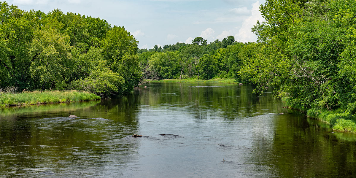
Novice and flatwater canoers and kayakers will enjoy this slow, peaceful, scenic stretch which has only a few light riffles and widely-spaced boulder gardens. Mixed hardwood forests, dense undergrowth and frequent open fields with tall grasses dominate the riverbanks with an occasional farm or home along the river.
Paddle in the morning or late afternoon and you will likely see abundunt wildlife, especially waterfowl such as duck, merganser, loon, great blue heron and the occasional bald eagle.
The reach of the Chippewa, from County D to the Flambeau River confluence, is well-known amongst local anglers for walleye, musky and northern pike. Panfish and smallmouth bass are also found in these waters.
Season
The river is usually runnable from early spring through late fall. Novice canoers and kayakers need to exercise extra caution when waters levels are high. High flows generally occur in early May, after periods of heavy rainfall, and when the Arpin Dam has a release. This is an excellent river to paddle in late summer and fall when many other rivers are experiencing low water volume. Contact the Wisconsin DNR office in Ladysmith (715.532.3911) for water levels before paddling the river.
River Level Information
River Gauge Location: Bruce, WI
Suggested Minimum Level: 400 cfs
USGS Website: 05356500
Phone: WDNR @ Ladysmith, 715.532.3911