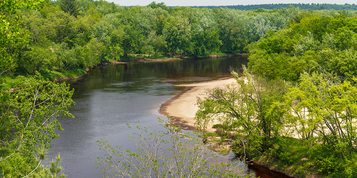
This is the second most popular segment on the Black after the stretch downriver (Melrose to North Bend). Scenic highlights include plentiful sandy beaches (when river levels are medium and lower), beautiful rock formations and a tall, dramatic bluff. The most-scenic rock formation is a pine-covered, rocky ledge that overhangs the river 100 yards upstream from Linde Landing on river-right.
A high bluff towers over the river a mile and a half above Melrose and gradually slopes down into a moss-covered, rock wall under a canopy of mixed-pines. There are a number of other minor rock formations along with several small hills covered in conifer and hardwood forests visible from the river.
The river drops less than 19 feet in the 11.8 miles between Irving and Melrose for an average gradient of 1.6 feet per mile. The absence of any whitewater, a super-low gradient and beautiful scenery makes this reach a very pleasant, lazy float for quietwater enthusiasts.
River Camping
The lower Black is well-known for its large number of inviting sandy beaches and its shallow, sandy river bottom. However, most of the lands surrounding the river are private property and camping on any shoreline beaches, meadows or open areas outside of state-owned property is considered trespassing. Wisconsin State Law allows camping for up to three nights on islands, island beaches, state forest shorelines and state recreation area shorelines.
If you plan on camping on state-owned lands or beaches, please check the weather report and get a water-level forecast from a local outfitter or the Black River State Forest before you embark on your trip.
Season
The river is usually navigable throughout spring, summer and into fall. It can be scrappy in some places during periods of little rainfall in late summer and fall. Contact a local outfitter or the Black River State Forest for information before you paddle.
River Level Information
River Gauge Location: Black River Falls
Suggested Minimum Level: 200 cfs
Suggested Maximum Level: 3000 cfs
USGS Website: Gauge data @ Black River Falls
Phone: Black River State Forest: 715.284.4103.